


Share This Article
Article Summary
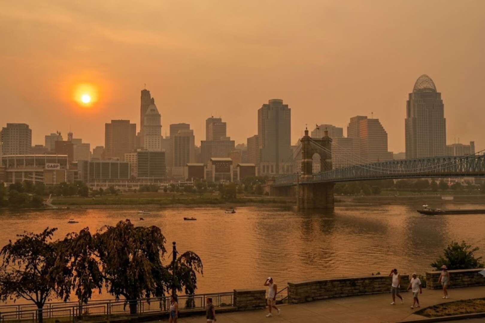
A heat wave is expected to move into Greater Cincinnati beginning Monday, June 29, bringing daytime highs in the low 90s and heat index values that could exceed 100 degrees through at least Thursday. Forecasters say high humidity and unusually warm overnight temperatures will increase the risk of heat-related illnesses, with the hot pattern potentially lasting into the Fourth of July weekend.
The National Weather Service advises residents to stay hydrated, limit outdoor activity during peak afternoon hours, and monitor updated forecasts for possible heat advisories. Officials also encourage checking on older adults, young children, and others who are more vulnerable to prolonged extreme heat.
The Greater Cincinnati is preparing for a Cincinnati heat wave that forecasters say could bring several days of dangerous heat and humidity. This could begin Monday, June 29.
The Cincinnati heat wave is expected to intensify through the middle of next week. Temperatures will climb into the low 90s, and heat index values could reach or exceed 100 degrees in many locations.
The National Weather Service in Wilmington said warm, moisture-rich air will move into southwest Ohio early next week. A strong upper-level high-pressure system will expand across much of the central and eastern United States. The combination of high temperatures and dew points in the 70s will create oppressive conditions. This is especially true for people without access to air conditioning and those who work outdoors.
Meteorologists are also warning that overnight temperatures will remain unusually warm. This will prevent homes and buildings from cooling naturally and increase the cumulative effects of heat exposure.
Cincinnati heat wave could bring the hottest stretch of the summer
Forecasts indicate daytime highs will reach the lower 90s by Tuesday and Wednesday. However, humidity will make conditions feel considerably hotter. Heat index values are forecast to approach 100 degrees on Monday. They may climb to 100 degrees or higher from Tuesday through at least Thursday, according to the National Weather Service in Wilmington. (Hoodline)
The National Weather Service’s Weather Prediction Center also expects a sprawling upper-level ridge to dominate weather patterns across the eastern half of the country, producing increasingly dangerous heat and humidity through much of next week. Current forecast guidance suggests the pattern could continue into the Fourth of July holiday weekend if the ridge remains in place. (Hoodline)
Residents should expect:
- Afternoon highs in the lower 90s.
- Dew points in the 70s, creating oppressive humidity.
- Heat index values at or above 100 degrees.
- Very warm overnight lows with limited cooling.
- Elevated risk of heat-related illnesses after several consecutive hot days.
The prolonged nature of the event is a significant concern. This is because the human body has fewer opportunities to recover when nighttime temperatures remain elevated.
Warm nights increase health risks during the Cincinnati heat wave
Unlike brief hot spells, extended heat waves become more dangerous when overnight temperatures stay well above average.
Forecast models suggest nighttime lows may remain in the 70s throughout much of next week. Without cooler overnight conditions, homes that lack adequate cooling can retain heat. As a result, indoor temperatures could rise and place additional stress on vulnerable populations.
Older adults, infants, young children, people with chronic medical conditions, and outdoor workers face a higher risk of heat exhaustion and heat stroke during prolonged periods of excessive heat.
The National Weather Service recommends several precautions during periods of extreme heat, including:
- Drink water frequently, even before feeling thirsty.
- Limit strenuous outdoor activities during the afternoon.
- Wear lightweight, light-colored clothing.
- Never leave children or pets inside parked vehicles.
- Check regularly on older neighbors and relatives.
- Spend time in air-conditioned buildings whenever possible.
Additional heat safety information is available from the National Weather Service’s heat safety page and the Centers for Disease Control and Prevention’s heat health guidance.
National forecasts point to widespread heat across the eastern United States
Greater Cincinnati is not expected to be alone in experiencing extreme temperatures.
Multiple national forecasting agencies have indicated that a broad heat dome will expand across the Midwest, Ohio Valley, Great Lakes and much of the eastern United States during the coming week. Moreover, similar forecasts have been reported by national media outlets and weather organizations as confidence has increased in the large-scale weather pattern. (Hoodline)
According to the National Weather Service’s Weather Prediction Center, the expansive ridge of high pressure will promote above-normal temperatures. At the same time, it will limit widespread cooling rainfall across much of the region.
Although isolated thunderstorms may develop at times, forecasters do not expect them to provide lasting relief from the heat.
Residents planning outdoor activities, youth sports, construction work or early Fourth of July celebrations should monitor updated forecasts because heat advisories or additional alerts could be issued if forecast confidence continues to increase.
For Cincinnati, the expected heat wave serves as an early reminder that extended periods of high heat can be just as dangerous as severe storms. Therefore, officials encourage residents to prepare ahead of time by staying hydrated, limiting outdoor exposure during peak afternoon hours, and checking on neighbors who may be especially vulnerable.
FAQs
When will the heat wave begin in Cincinnati?
Forecasts indicate the heat wave will begin on Monday, June 29, as hot and humid air moves into the region. The hottest conditions are expected from Tuesday through Thursday, with the possibility that the pattern continues into the Fourth of July weekend.
How hot will it feel during the heat wave?
Although daytime highs are forecast to reach the low 90s, humidity will make it feel much hotter. Heat index values could reach or exceed 100 degrees during the middle of the week.
Why are warm overnight temperatures a concern?
Nighttime lows are expected to remain in the 70s, reducing the body’s ability to cool down after hot afternoons. Several consecutive warm nights can increase the risk of heat-related illnesses, especially for vulnerable individuals.
How can residents stay safe during the heat wave?
Health officials recommend drinking plenty of water, limiting strenuous outdoor activities during the hottest part of the day, and spending time in air-conditioned spaces when possible. Residents should also check on older adults, young children, and neighbors who may need assistance during prolonged periods of extreme heat.
